
Walk a Stonecrest Street
A reliable street directory search moves from the physical address to stable record keys. DeKalb County maintains the parcel and title layers for Stonecrest. The city keeps newer permit and code material. Georgia election officials control voter-list access. Work from the narrowest known address and save each parcel ID, deed reference and date before moving to the next source.
- Enter the full address in the DeKalb property search. If it misses, shorten the street type or try Road/Rd and Drive/Dr forms.
- Record the parcel ID, situs address, title owner, mailing address, legal description and deed book/page shown on the card.
- Open the Parcel Viewer and click parcels along the chosen segment. Treat its boundary lines as map aids, not surveys.
- Use the deed reference at the Clerk of Superior Court. Then search the seller as a grantee to walk title backward.
- Add a lawfully ordered voter file, reverse directory, permit or code file only when that source fits the question.
This chain separates ownership from occupancy. It also lets a Stonecrest by-street search survive spelling changes because the parcel ID and legal description remain stronger keys than street text.
Search Stonecrest Property Fields
The free DeKalb Property Search accepts several routes into the assessment roll. Search one field at a time first. A broad street-name result may be useful, but every returned card still needs individual review. Portal versions can change which advanced filters appear, so locality and ZIP options should be checked live before relying on them.
| Search control | Input | Best use | Caution |
|---|---|---|---|
| Owner Name | Text | Find title held by a person or entity | Try initials and partial forms |
| Property Address | Text | Find a situs address or browse a street | Normalize street suffixes |
| Parcel ID | Text | Open the exact parcel record | Preserve the full value |
| Advanced criteria | Mixed | Possible locality, subdivision or class filter | Options vary |
| Search / Clear | Buttons | Run or reset criteria | Clear stale filters |
A card may show owner and mailing address, physical or situs address, tax year, legal description, values, acreage, building facts, exemptions and a sales reference. These fields create a directory by address, but none should be stretched beyond what it says.
Stonecrest Mailing and Situs Clues
Situs address means the physical location of the taxable parcel. The owner's mailing address is where the tax office sends notices. When those fields match and a homestead exemption is present, owner occupancy is supported but not proved. A mismatch may mean an absentee owner, an entity owner or simply a preferred mail address. It never supplies a renter's name.
Keep the distinction. A tax-roll owner is not automatically a Stonecrest resident, so label each name as an owner until another record supports occupancy.
Most Stonecrest mail uses 30038 and some uses 30058. USPS also permits Stonecrest as a mailing-city alternative, while older and current records may still say Lithonia. That postal choice did not redraw parcels or city limits. Search both place labels without changing the source's wording.
Map Stonecrest Parcels by Street
The county's Property Mapping and Land Records service links to the Parcel Viewer and explains the Mapping Team's role. Locate the first address, turn on parcel lines, click its polygon and move along the street one parcel at a time. Layers may show imagery, zoning, flood areas, jurisdiction or districts. They describe land context, not residents.
The county GIS page is the source for this street-directory view.
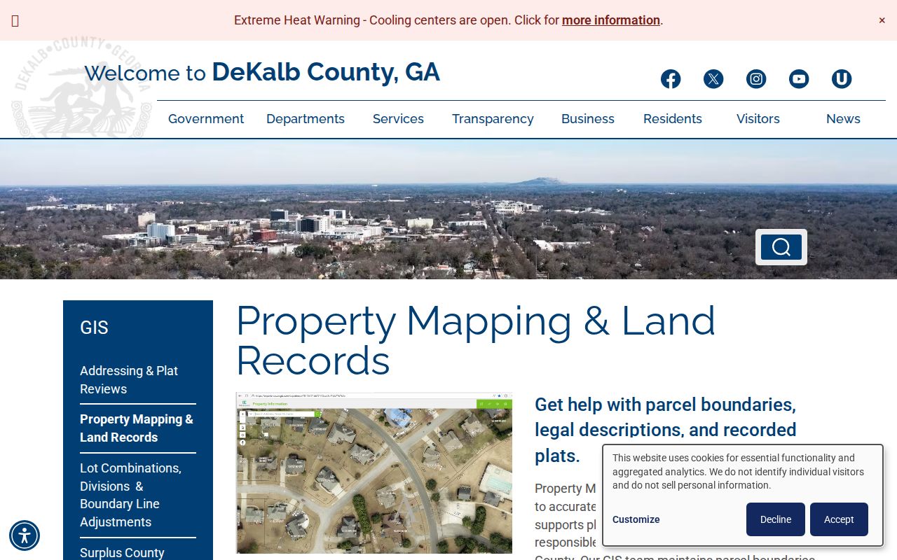
The pictured county service helps when a text search misses a parcel or a road crosses a jurisdiction line.
- Parcel
- A mapped tract identified for assessment, not a household.
- Situs address
- The parcel's physical tax address, distinct from the owner's mailing address.
- Plat
- A recorded drawing of lots, dimensions and easements. GIS does not replace it.
- Criss-cross directory
- A directory arranged by street and house number rather than surname.
Stonecrest Records Keyed by Address
No single Stonecrest street directory covers every person. Each roll answers a narrower question and has its own custodian. County records carry the ownership chain, state election records cover registered electors, and Stonecrest files begin with the city's 2017 incorporation.
| Address source | Keeper | Evidence returned | Access route |
|---|---|---|---|
| Assessment card | DeKalb Property Appraisal | Owner, mailing/situs, parcel, value, exemptions | Free portal |
| Parcel map | DeKalb GIS | Geometry, layers and linked tax facts | Free viewer |
| Deed or plat | Superior Court Clerk | Grantor, grantee and legal description | Online or public room |
| Voter list | Georgia SOS / DeKalb Elections | Registered electors and public address fields | Ordered file |
| Permit or code case | Stonecrest | Project, dates and responsible parties | Department request |
| Reverse directory | Library / History Center | Historical occupant by house number | Print, film or staff help |
Use the portal when it exists, then use the counter or request route when it fails. Georgia agencies need not create a new address compilation, so identify the date range, street, parcel or case number and ask for existing public records.
Link Stonecrest Parcels to Deeds
The DeKalb Superior Court Clerk Real Estate Division records deeds, security deeds, plats, liens, UCC filings and related instruments. Its page documents online access and public computers. The official page does not state a dependable earliest online year. Do not guess one. Vendor accounts, subscriptions or print credits may limit some images even when the index can be inspected.
The clerk's real-estate page shows the official route from parcel clues to instruments.
The deed image adds execution dates, parties and the full legal description, but proves title rather than everyone who lived there.
If the book and page are known, contact Real Estate staff at 404-371-2836. If unknown, email mappingteam@dekalbcountyga.gov with the address or parcel ID. Mapping staff can confirm the latest deed or plat reference, though they do not provide copies or settle encroachments.
Note: Since January 1, 2025, self-filed DeKalb real-estate documents require electronic recording and ID upload, while public inspection remains available.
Confirm Stonecrest City Geography
A postal Stonecrest address is not conclusive proof that the parcel lies inside city limits. The Stonecrest GIS page supplies official map resources and points to the county viewer. Use both when a street directory result says Lithonia, when a road crosses the boundary or when the correct custodian is unclear.
The city GIS page is the official lead for municipal geography.

This layer helps decide whether Stonecrest permit and code offices may hold a file; it does not replace a parcel card or deed.
Interstate 20 also changes what a by-street result looks like. Northern Stonecrest includes quarry, warehouse and logistics tracts, while southern areas are mostly residential former farmland. Commercial corridors can return entity owners and large parcels rather than household-rich rows. This geography explains sparse results without turning them into a claim that nobody occupies the area.
Add Stonecrest Address Case Files
Stonecrest building and code files form a dated layer after incorporation in 2017. Search or request permits by address, parcel ID, permit number and date range. A permit may identify an applicant, owner, contractor, project scope, value, status and inspections. Those roles do not necessarily name the occupant.
The city's Code Enforcement page documents online, email, phone, mail and in-person complaint channels.
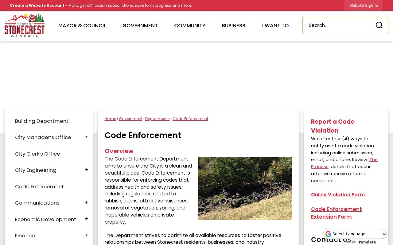
The process routes complaints into CitizenServe, making an address and case number useful request keys.
Research says inspection normally occurs within 72 hours. If a violation is found, notice may go to an owner, occupant or person with legal control, with a normal seven-day compliance window before reinspection. That name proves a role in a file, not residence. When no public CitizenServe search is available, use the department or city Open Records Request link.
Stonecrest Voters Along a Street
Georgia My Voter Page is an identity-gated personal lookup. It asks for first initial, last name, county and date of birth, so it cannot browse an unknown street. A public voter file is different. Georgia allows orders by county, municipality, district or precinct and supplies a CSV that can be filtered by residence street.
The public file excludes telephone numbers, dates of birth, Social Security numbers and driver's-license numbers. VoteSafe and Safe at Home can shield or substitute an address. The roll omits children, noncitizens and adults who are not registered. It is a civic source, never a full household census.
DeKalb Elections accepts records questions at ElectionsORR@dekalbcountyga.gov or 404-298-4020. Specify City of Stonecrest and ask how records assign addresses that use Lithonia as the postal city.
Read Old Stonecrest Streets
Historical reverse directories turn the street-directory method around: choose a street, follow house numbers and read named occupants. Present Stonecrest geography may appear under DeKalb, Lithonia, Stone Mountain or suburban Atlanta because the city did not exist until 2017. The DeKalb-only 1939 directory and Tucker/Stone Mountain volumes for 1970, 1972 and 1974 through 1976 are promising, but coverage must be checked volume by volume.
DeKalb County Public Library keeps directories dating to 1928 at the Decatur Library second-floor Reference Desk. The DeKalb History Center has the detailed volume run. The collection is covered more fully in the Stonecrest directory book resource. An address missing from a volume may reflect a rural gap, publisher choice or changed place label, not an empty home.
Limits of Stonecrest Street Lookups
A Stonecrest street directory cannot identify every renter, child, unregistered adult or other household member. Utility accounts, children's data and DMV addresses are not public street lists. Private association rosters remain private unless voluntarily published. Assessment and deed records name titled interests, while GIS gives approximate map context. None creates an official resident roll.
Records can lag. A recent sale may not yet appear on an assessment card, a voter record can become inactive during address confirmation, and a code contact may be a manager or contractor. Verify dates and roles with each custodian. Keep names tied to their exact source instead of merging them into an unsupported household list.
Lawful use. Use Stonecrest address records for family research, property history, civic work or personal safety, never to stalk, harass or harm anyone.