
Stonecrest ZIP Code Directory
Two ZIP codes have direct official support for Stonecrest addresses. Most of the city uses 30038, while other portions use 30058. The city states those broad facts, but it does not publish a street-by-street boundary table. A ZIP is a USPS delivery area, so neither code should be treated as a clean outline of the incorporated city.
| ZIP | Areas Covered | Mailing City | Geographic Note |
|---|---|---|---|
| 30038 | Most of Stonecrest, including City Hall, Stonecrest Library, Arabia and Flat Rock areas | Stonecrest accepted; Lithonia common | Delivery area extends beyond the city polygon |
| 30058 | Parts of northern and eastern Stonecrest | Verify per address | Exact neighborhood edge requires USPS plus GIS |
Do not add nearby 30034 or 30035 based only on proximity. No official source in the research confirmed those codes inside Stonecrest. Nor did a source establish a Stonecrest-only PO box ZIP, per-ZIP population, or exact split date. An accurate ZIP code directory stops where the evidence stops.
Why Lithonia Labels Persist
USPS authorized residents and businesses to use “Stonecrest” instead of “Lithonia” as a mailing-city alternative. The change did not rewrite old deeds, parcel cards, voter history, or printed directories. Before incorporation in 2017, present-day addresses appeared under unincorporated DeKalb, Lithonia, Stone Mountain, or a subdivision name.
Search both city labels when the first attempt fails. Keep the house number and street stable, then test Stonecrest and Lithonia. Older local-history catalogs may also file material under DeKalb County or an eastern DeKalb community. Layered naming is a local quirk, not proof that two records describe different properties.
Local quirk. One parcel may show Stonecrest in mail, Lithonia in an older directory, DeKalb in its legal description, and Stonecrest in a code case.
Verify a Stonecrest ZIP
Use three independent tests. The USPS ZIP Code Lookup confirms delivery city and ZIP. Stonecrest map resources answer whether the site is legally inside the city. The DeKalb parcel service supplies the mapped parcel, situs address, and tax jurisdiction. Situs means the property's physical location, which may differ from the owner's mailing address.
- Enter the complete deliverable address in USPS lookup.
- Locate the same street on the Stonecrest boundary map.
- Open the county parcel record and compare situs, parcel ID, and owner.
- Keep all three results because each answers a different question.
The official USPS lookup shows the search surface used to test the mail label.
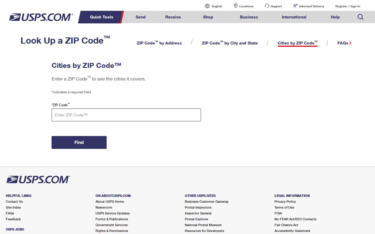
Use its standardized line as postal evidence, then return to the city and parcel maps for legal geography.
Finding Stonecrest Residents by ZIP
No official source supplies a complete list of everyone living in a Stonecrest ZIP. Property records identify owners, not all occupants. Georgia My Voter Page is a personalized tool requiring first initial, last name, county, and date of birth. It is not made for browsing a ZIP. Ordered public voter lists follow separate rules and exclude telephone numbers, birth dates, Social Security numbers, and driver-license numbers.
- Verify the delivery ZIP and municipal boundary separately.
- Search the assessor or GIS by exact address or parcel.
- Use voter tools only for their stated lawful purpose.
- Confirm an identification with the source custodian.
The DeKalb provisional ballot search is election-specific, not a general resident roll.
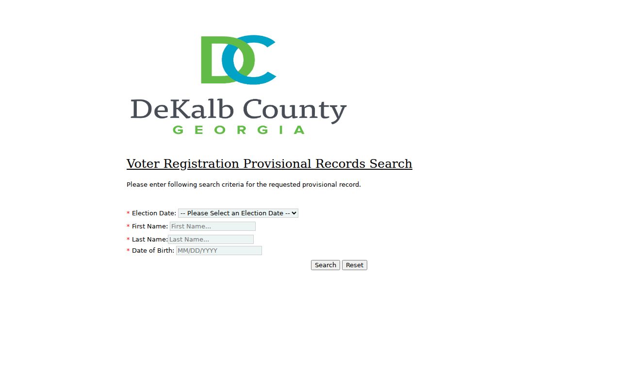
Its narrow purpose shows why one official search cannot be stretched into a ZIP-wide household directory. For address work, continue with the Stonecrest street directory.
Stonecrest ZIP Records Geography
Interstate 20 is a useful local divider. Northern Stonecrest reflects quarry, warehouse, and logistics uses, while southern areas grew from farmland into mostly residential neighborhoods. Commercial development clusters near I-20 and the Mall at Stonecrest. A ZIP-wide result can mix subdivisions, apartments, conservation land, industrial tracts, hotels, and shopping parcels.
Corporate owners dominate many industrial and retail parcels. Apartment parcels often show one owner entity, not each household. In a subdivision, parcel cards and lot-and-block descriptions are more useful. Around Arabia Mountain and Flat Rock, historic place names and land-lot descriptions can connect older sources to a current address.
ZIP alone is a weak same-name test. Occupation, parcel history, subdivision, and linked deed identifiers provide better confirmation.
Stonecrest Voter ZIP Limits
The Georgia My Voter Page confirms one's registration and district details through identity-specific inputs. It accepts county, not ZIP, as part of that personalized search. Never infer ballot choices from participation history; ballot selections are secret.
The voter lookup image shows why a name and ZIP are not enough.
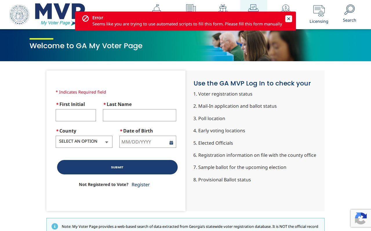
Use it for its defined purpose rather than as a block directory.
Protected Stonecrest Addresses
Some missing or substitute addresses are deliberate. VoteSafe shields qualifying voters. Georgia Safe at Home allows eligible survivors and people facing harm to use a designated address in public records. Do not attempt to reverse that protection.
The VoteSafe page explains the voter-focused safeguard.
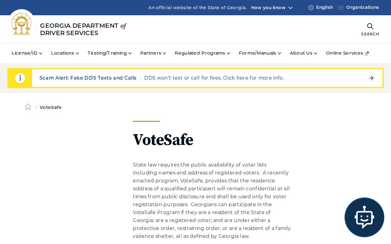
An apparent ZIP mismatch may reflect lawful privacy, not bad data.
ZIP Boundaries and Stonecrest Limits
Conflicts come from different definitions. USPS maintains delivery geography. Stonecrest maintains its legal boundary. DeKalb maps parcels and tax jurisdiction. A deed may use land lot, district, subdivision, lot, and block instead of today's mail line. New construction can reach one system before another.
- ZIP code
- A five-digit USPS delivery area, not a city boundary.
- ZIP+4
- A finer delivery segment tied to a block, building, or group of boxes.
- Situs address
- The physical parcel address on the tax record.
- Legal description
- The land-lot, district, subdivision, lot, or block text defining the parcel.
Preserve the parcel ID and legal description exactly. Compare dates, since a source created before 2017 cannot name Stonecrest as an incorporated city. Georgia agencies generally need not create a new ZIP compilation that does not already exist.
Boundary check. Confirm a disputed address with USPS, the Stonecrest map, and the DeKalb parcel record before assigning it to a city ZIP.
Trace Older Stonecrest ZIP Addresses
Current postal data is only the last layer of an address history. Stonecrest became a city in 2017, but its parcels and families appear in much older DeKalb records. Printed directories shared Atlanta and suburban coverage until 1956, and selected DeKalb, Tucker, and Stone Mountain volumes survive for later years. Search a present 30038 or 30058 address under Lithonia, the subdivision name, and DeKalb County when a modern city search produces nothing.
Start with the present parcel card. Copy its legal description, parcel ID, subdivision, land lot, district, and deed book and page. Those identifiers remain useful when street names or mailing cities change. Follow the acquisition deed into the clerk's grantor and grantee index, where a grantor is the person transferring title and a grantee is the person receiving it. Earlier deeds may describe land rather than a numbered street address.
The 1842 DeKalb courthouse fire complicates the oldest chains because only one known volume of official county records survived. Later deeds that recite prior ownership, tax digests, estates, land-lottery records, church files, family Bibles, and newspapers can help rebuild what was lost. The gap makes a tidy pre-fire chain something to test, not accept at face value.
Historic Flat Rock and Arabia Mountain sources can also supply community names and family links missing from a postal search. Northern quarry and rail occupations may separate two residents with the same surname. In southern subdivisions, lot-and-block continuity is often more useful. The Stonecrest previous residents search develops that backward address method after the ZIP and parcel have been confirmed.